
April 13, 2021
Tried to get an early start, but as usual didn’t get out and going till later than we were hoping. Arrived at the parking area and it was somewhat busy, though we found a spot on the road not too far from the trailhead. Linda had researched multiple hikes prior, so we knew a bit of what we were getting into with the parking and traffic on the trail. Was glad that we also decided to complete this hike during the weekdays, as I think that may have helped.
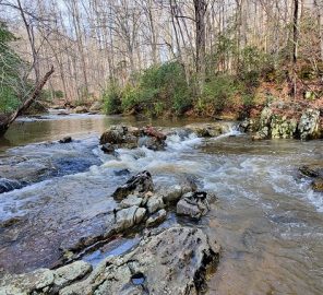
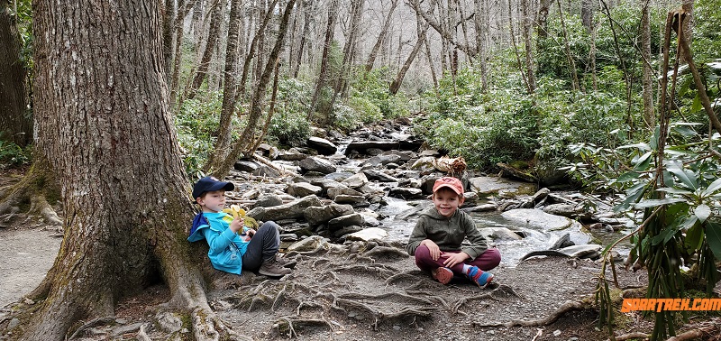
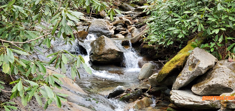
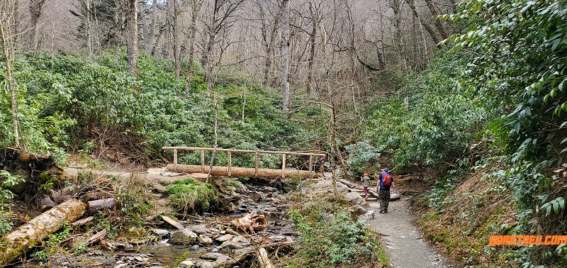
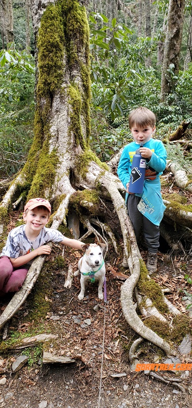
Lots of cool spots to stop and take pictures of the creek and cascading water. We were able to stop by one spot with plenty of great tree root exposure and boulder laden stream. There were a few other crossings that were over smaller waterfalls as well.
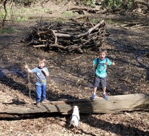
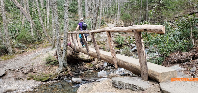
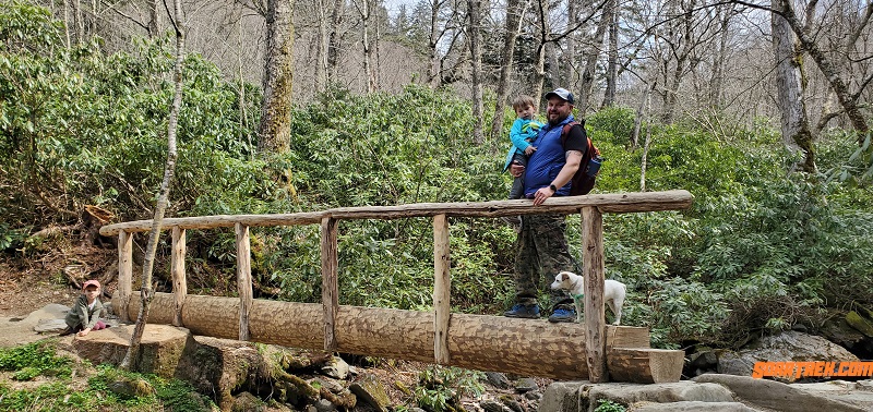
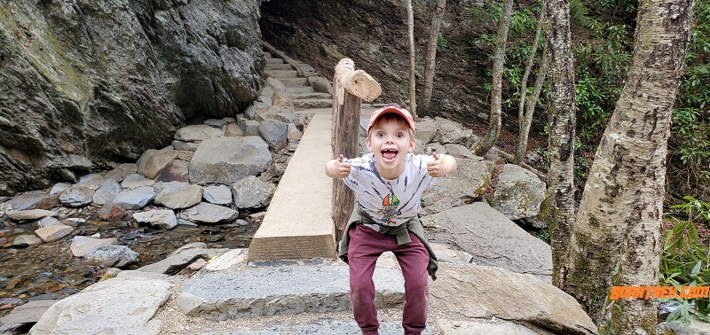
Some of the creek crossings were single log bridges. We love bridges on our hikes, but these may have added some stress for the boys. Typically we see log bridges that tend to be wide with secure railings on both sides. These were literally a log and simple rail on one side, which of course was fairly high for the boys to grab onto.
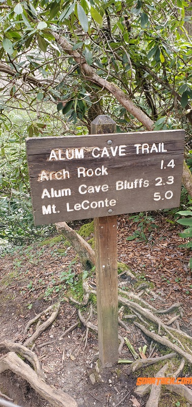
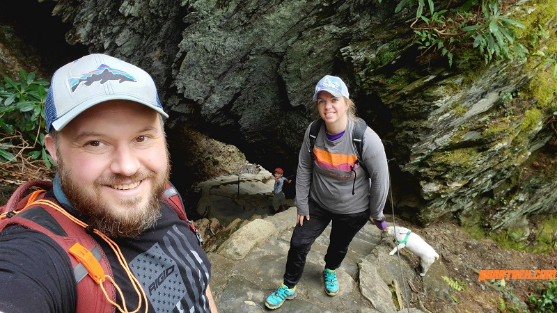
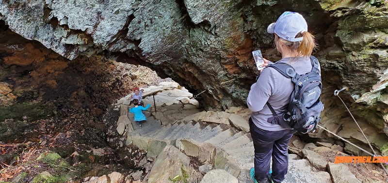
Somewhere between a third to half-way point of the first leg of the there and back hike is Arch Rock, which was directly after a log bridge. Really cool winding stairs that go through a natural arch. I’m doubtful that this was created naturally. It was busy here as well, as it’s a popular spot to take photos, creating a backup for those who are just trying to pass through. The stairs wind right up through the arch. It’s a little steep and damp in spots. I had mentioned to others starting the hike and worried about the oncoming rain that it would be worth it to at least make it to the Arch Rock.
Sign at start of trail head 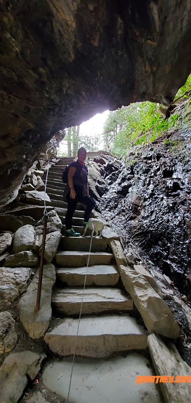
Linda posing in Arch Rock
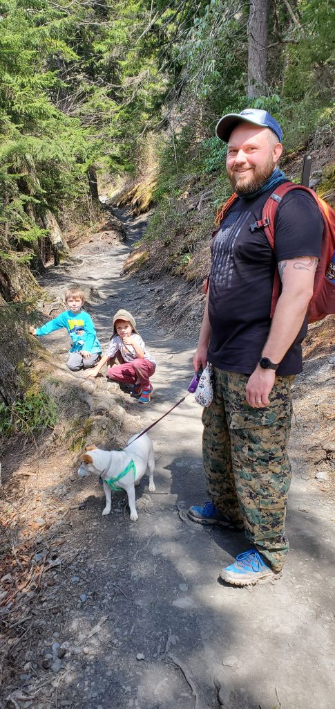
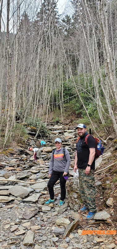
The first leg is a gradual ascent with a few switchbacks and a couple of areas where the trail narrows. At some of the narrow areas, there was quite the dropoff on one side, which made passing somewhat difficult at times and worrisome with bounding boys. There are many run offs along the trails as well, which piqued Heidi’s interest as she tried to investigate each one.
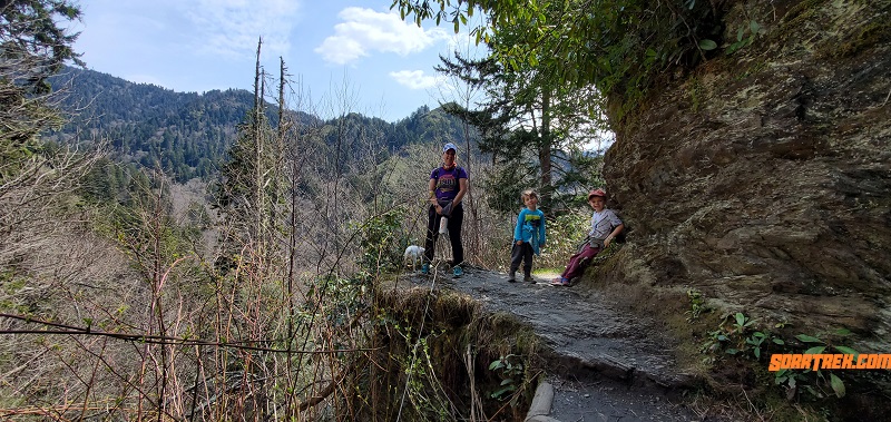
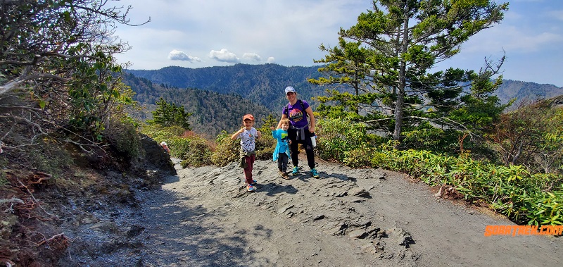
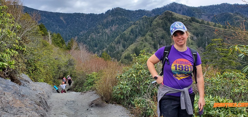
The boys were dragging during the first leg and heading up. Until they started to get hungry. Eli especially, as he ran part of the way up to get to lunch. We came to the first summit and hit Peregrine lookout. It was fairly popular area for people to hang out, and Eli continued pushing as he realized that wasn’t our destination. When looking at AllTrails, we realized this is where the ascent takes a much steeper turn.
The ascent becomes steeper 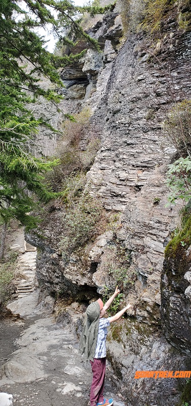
Checking out the rock wall 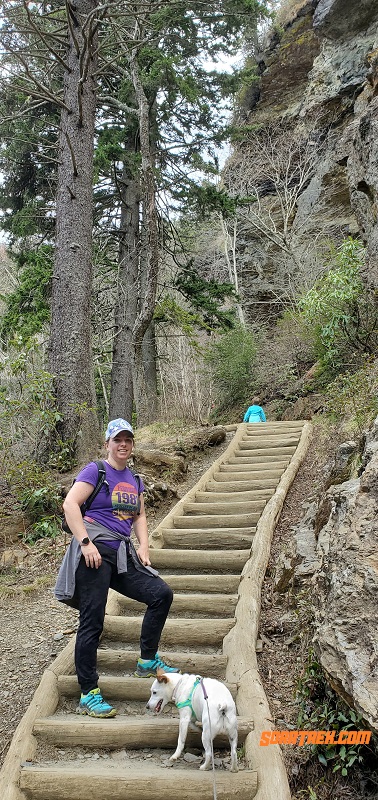
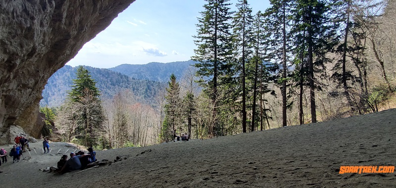
Stairs getting close to the cave
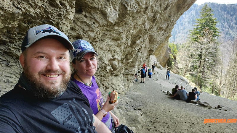
We arrived at the Cave and had to find a spot that we could sit to eat, as many people were doing the same. This area was fairly steep and the ground was a very fine powdery dirt. We had to find a spot to anchor ourselves in order to not tumble down the hill. The dirt didn’t just proved difficult to find stable ground with, as it was very successful in covering the boys and Heidi as well. With belly’s full and after a few photos, we decided to start heading back down. It was becoming cloudy and there was some concern that it may rain on us. We noted some hikers continued going further, as you can hike to Mount Le Conte.
On the descent, we were able to slow the boys down a bit to take in some of the other sites that we may have passed by on the way up to the Cave, including stopping at the Peregrine lookout to take a few pictures that we missed on the way up. The boys were making great progress on the way down, though did stop at the creek bed to try and find the water. Someone walking by thought it was a great view as Linda and I patiently waited for the boys as they played with the rocks.
We saw a curious squirrel which didn’t seem to be concerned with our closeness. Was probably the only animal other than the birds that we saw during the walk.
Stopping at Creek Bed 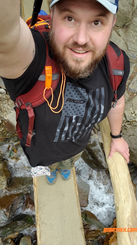
Crossing the log 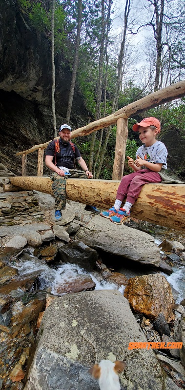
Stopping for another log photo
After the hike, we headed over to the visitor center. It was decently packed, as the parking lot was full and the restrooms had lines. We waited to get into the visitor center so that we could buy a pin, sticker, and patches for our visit. While we were waiting in the line, a ranger noted there are over 800 miles of hiking in the Smokys. We knew it was large, but that is still a pretty impressive amount of hikes.
Snack and Water Break 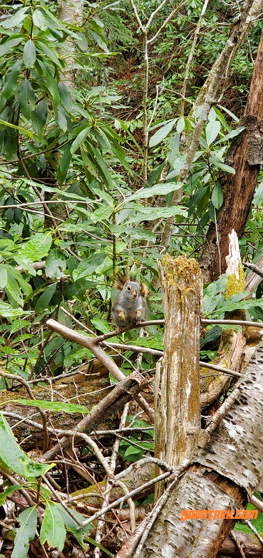
Squirrel coming to say hi 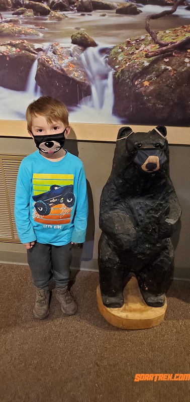
Two lil bears at the visitor center.
Notes:
We did not realize that dogs were not allowed in the park until after our trip. Had we had known, we would have left Heidi at home or the cabin.
Distance
5.4 Miles
References
Alum Cave Hike
https://www.nps.gov/grsm/planyourvisit/chimneys-alternative-alum-cave-bluffs.htm
https://hikinginthesmokys.com/alum-cave-trail/
Great Smoky Mountain National Park
https://www.nps.gov/grsm/index.htm
Last modified: May 17, 2021